
Drone Camera and Sensors Are Inspecting Your Fields: Time for E-Agriculture
Why my crops are not growing well? Am I providing the right amount of fertilizer? Did I sprayed the pesticides well or watered the crops enough? Are these questions or more of this type are scratching your head? There is no need to worry as this blog is for you. This is the era of Smart Agriculture and Precision Farming. This new field is addressing every question of yours related to agriculture by providing effective and smart solutions. However, the solutions are in the form of modern agricultural machines that are designed to perform your fieldwork automatically. The only thing they need is the command which is to be provided to them.
One such machine is the unmanned aerial vehicle (UAV), also known as drone. UAVPrime is the one-stop solution to all your needs related to UAV camera and sensors. At UAVPrime, you will get the best quality drone sensors and cameras. Moreover, these sensors and cameras are capable of evaluating and inspecting the crops themselves and transforming the measured data into precise application maps.
Thanks to these multispectral imaging camera sensors, farmers can now evaluate crop yields, can take irrigation advice, fertilizer assistance, and farm survey. Moreover, these sensors assist the farmers more efficiently in crop management and soil fertility assessment. Such sensors when attached to the drones can help in reducing the application of pesticides and insecticides as well as in minimizing the loss of additional water.
Furthermore, the working principle behind the multispectral camera sensors is that they can even capture images of crops that are extremely minute by employing Red, Green, Red-Edge, and Near-Infrared wavebands. The data collected in the form of images is then introduced into the specialized agriculture software which interprets the images into significant data. Herein, the images provide the data about the soil condition and crop health which in turn help the farmers in accurate analysis of the crop conditions. These multispectral images also act as the guide for farmers during the crop season which enables them to take preventive measures at each step. Simply put, the advanced multispectral sensors and cameras are ultimately enhancing the productivity of crops by limiting crop destruction.
UAVs have cameras attached to them and can fly long distances at the top of fields providing significantly greater resolution, robust and quick movements as compared to traditional satellites. Moreover, they are also carrying temperature sensors, radar, and altimetry sensors which enhances the analyzing power of the drones.
Furthermore, drones are pilot-free air-crafts that are remotely controlled and pose great benefits to farmers. Thus, farmers are also preferring these gadgets as they are highly equipped with efficient software, hardware, and sensors that effectively analyze and track the crop vigor, yield, and health condition.
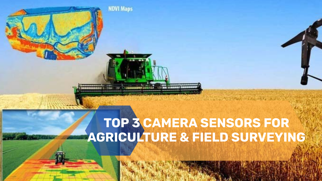
Multispectral Camera and Sensing Technology for Surveying
Various drones are exploited for the careful examination of fields, their fencing, and buildings. Best drones used for this purpose should be equipped with Global Positioning Satellite (GPS), First Person View (FPV), high magnification cameras, and stabilized gimbals. Such drones make use of Pix4D software for the development of elevation models and photogrammetry maps. Moreover, a few of these drones and camera sensors are listed.Multispectral cameras and remote sensing drones are equally important for surveyors as they can help them in carrying out topographic surveys with great accuracy. Such advanced survey techniques have various benefits including low survey costs, less field time, reduced workload, accurate data, and efficient land management for GIS professionals.
UAVPrime is offering one of the best high-tech farming machinery including Parrot drones and UAV camera sensors. With great evolution in the drone market, some of the traditional drones are now obsolete and are replaced by drones with the latest features, software, sensors, etc. However, the top 3 latest UAV camera and sensors used for land surveying are discussed below in detail along with their features, pricing, hardware, and software:
Parrot Sequoia + Multispectral Sensor
Parrot Sequoia is one of the bestselling multispectral sensor which is preferred and valued for land surveying by various customers. It is equipped with a high-quality w/a 16 MP RGB camera which is capable of producing high-quality images. Moreover, it offers accuracy, reliability, and ease of utility. Parrot Sequoia has an internal memory of 64 GB which can hold a large amount of data. Additional features include a sunshine sensor for the analyses of the amount of daylight falling in the crops and added data storage option in the form of a slot for an optional SD card. Sensors integrated into the device for the precise positioning of images include GPS and IMU. Moreover, geotagging of images is another added feature of Parrot Sequoia. Overall, it is considered to be the best combination of features rendering accuracy reliability, and quality.


MicaSense RedEdge-MX Dual Camera is a sensing system that is capable of developing customized directories for customized applications by absorbing all ten distinct spectral bands. It holds multiple cutting-edge features such as serial, Ethernet, RedEdge integrators, stand-alone mode, and Wifi, etc. Moreover, it can be adjusted with the existing software and drone you have.
The measurement of the amount of light present in the atmosphere during the flight by the RedEdge sensor provides the evaluated data with more accuracy due to changing light conditions.
Sentera Double 4k Sensor
Sentera Double 4k is the dual sensor known for its light weight and small size. It have wide compatibility with any drone and can capture images of high resolution i.e. 12Mps. The images taken from sensors can be integrated in to the software including Pix4D and Agisoft. It offers live streaming of the videos taken from these sensors on your mobile phones using the LiveNDVI™ technology. In addition, it has augmented speed in downloading images using WiFi and can integrate seamlessly with AgVault™ Software.
I am sure your search for the best drones and UAV camera sensors is over now and you are directly visiting UAVPrime’s webpage for placing the order. Go and grab your favorite drone camera and sensor before the stock ends.
