
Unmanned aerial vehicle (UAV), generally referred to as a drone, was grown basically for military tasks that were excessively unsafe for people to attempt in the 20th century. Drones were never supposed to be utilized commercially from the late 1800s to postwar period, but thanks to technology and commerce, as well as the power of human creativity, it was improvised and evolved into a user-friendly equipment and delivered to the commercial markets.
Getting to know you…
I conducted my own study (since this piqued my curiosity the first time I saw it), and as a result, my perspective on drones has broadened. I've learnt how valuable it is, and how can this be our new generation's future? The more I study and investigate it, the more I am engrossed in it. I've tried and met a number of UAVs; some will meet your needs and serve their job, but unfortunately, they won't stay long.
Some people will give you a promising performance only to let you down in the end. As I continue on my adventure in search of the one. When I come across PARROT ANAFI, it completely transforms my perspective on drones.
Why choose PARROT ANAFI?
Drones have been displayed as toys and collected by UAV enthusiasts as a pastime for the past ten years or so. Traditionally used and owned by wealthy collectors, it wasn't until 2018 that PARROT released its first drone, the PARROT ANAFI, which revolutionized the face and notion of UAVs or drones.
What distinguishes this drone from others? Now, if you'll excuse me, I'll count the features for you...

Now, if these mentioned amazing attributes haven't persuaded you, I'm not sure what would.
Survey - downward-facing sensors, such as RGB or multispectral cameras, are used to collect aerial data.
The ground is photographed numerous times from different angles during a drone survey with an RGB camera, and each image is tagged with coordinates.
The accuracy of drone survey mapping is significantly influenced by the performance and kind of drone, the quality of its components, the camera resolution, the height at which the drone flies, the vegetation, and the method and technology used to geolocate the aerial photos.
What are drones used for in surveying?

What are the benefits?
Rescue – In the emergency response sector, drones are flying to the rescue, supporting police in recording and analyzing crime scenes, as well as search and rescue teams in locating victims who have become stranded in the wilderness.
Drones have added another accomplishment to their already impressive resume: they are now being used not just to improve safety and prevent future tragedies, but also to save lives on many instances.


Research – offer us with a new method of data collection; they enable us to obtain a viewpoint of the Earth that is simply not achievable with ground-based devices.
Since the early 1900s, they've been around. Originally employed for military activities, drones have become increasingly commonly used in recent years. Where scientists could previously only see the globe from above by utilizing human planes or satellites, drones have allowed them to expand, enhance, and refine their studies.
Throughout the years PARROT has created different versions of ANAFI. The ideal on-the-go companion that gets you ready-to fly in to time.
Parrot ANAFI FPV Drone
You can switch from watching footage on an external display to actually seeing what the drone views in a fully immersive FPV experience.


Parrot ANAFI 4K HDR Drone
You have the power to take spectacular aerial videos and photos at any time. The Anafi is ultra-compact and portable, weighing just over 11 oz and fitting into a backpack.
Parrot ANAFI Work - 4K / 2x Lossless Zoom - Business Drone Solution
A compact, high-resolution aerial photography and videography solution for everything from entertainment to industrial use.


Parrot ANAFI USA - Thermal Drone
A powerful drone designed for first responders, firefighters, search-and-rescue teams, security organizations, surveyors, and inspectors.
Having said all of this, I continue to believe that this is the future, not only for our entertainment/fun, but also for our learning (since schools and institutions are already offering lessons and courses on UAVs), as well as to improve our lives.
I AM COMMITTED…
After all of my adventures with my PARROT ANAFI FPV, I've come to the conclusion that this is true love, and I'm with the one. This provided meaning to something I had believed was just for pleasure. I've discovered that drones save us not just money and time, but also people's lives.
In my opinion, the survey, rescue, and research I conducted were only for simple scenarios, but if you look at the other photos, you can see how they may be used for a greater purpose.
In school or university, they can incorporate drone courses into their curriculum. Upskilling people in future technology in order to improve our life.
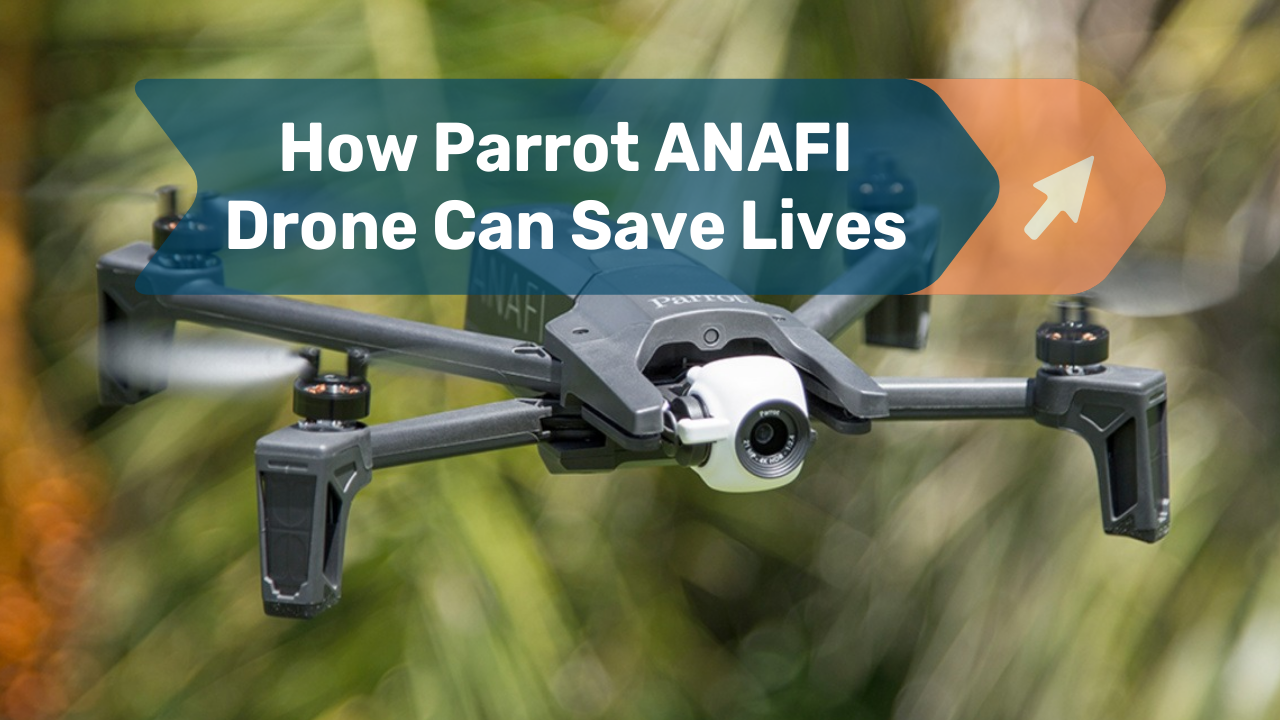
HOW CAN IT SAVE LIVES?
Recovery, search, rescue, and mission are some of the key uses or purposes of PARROT ANAFI. With FPV and Thermal, it can not only locate the enemy, but also return your lost cat from the top of the tree, which has been missing for a week.
If all of these features and reviews aren't enough to persuade you, I'm not sure what will.
But, if you're reading this because you're undecided about which drone to add to your cart, I hope this post convinces you, and if you're reading this to see if you can afford it, I'm telling you. You've clicked and opened the right link - Visit UAVPrime.com, where you'll find a wide range of inexpensive prices, discounts, and free shipping, as well as a very nice and accommodating customer service!
So, when you're ready to check out your cart, remember to stop by!
